
Nokia Tracks: a sensor for
action sports.
Photo by Stephan Scheunig
Nokia Tracks explored how motion data could help people relive and share their outdoor adventures. I worked on the concept, user experience, and visual design for a rugged sensor and companion app, initially focused on snowboarders and surfers. The small, waterproof sensor could withstand freezing temperatures, with plans to support more activities over time.
Role: concept, user experience and visual design
2012 - 2013

Early app sketches exploring connected gear, activity highlights, and competition with friends.
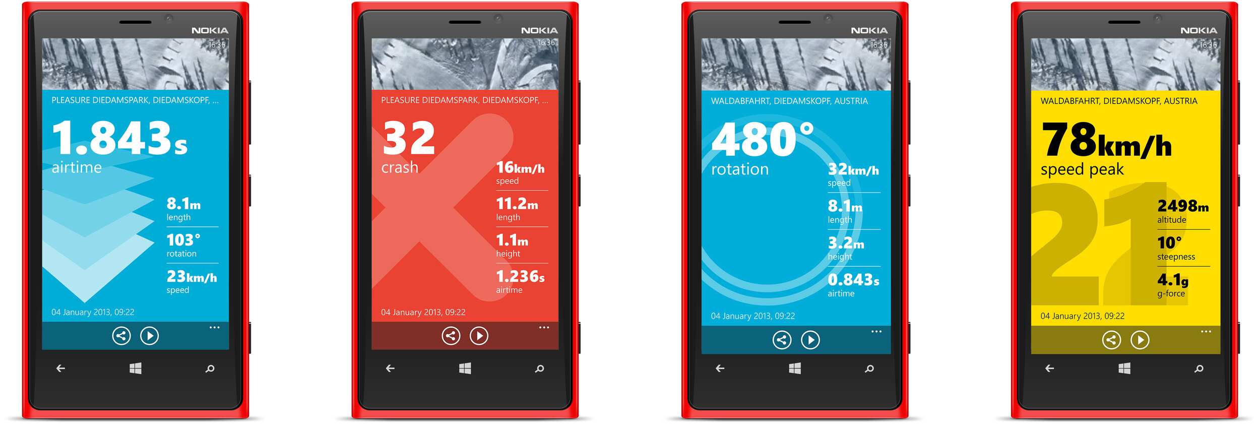
Snowboarding highlights translated from sensor data into shareable motion graphics.


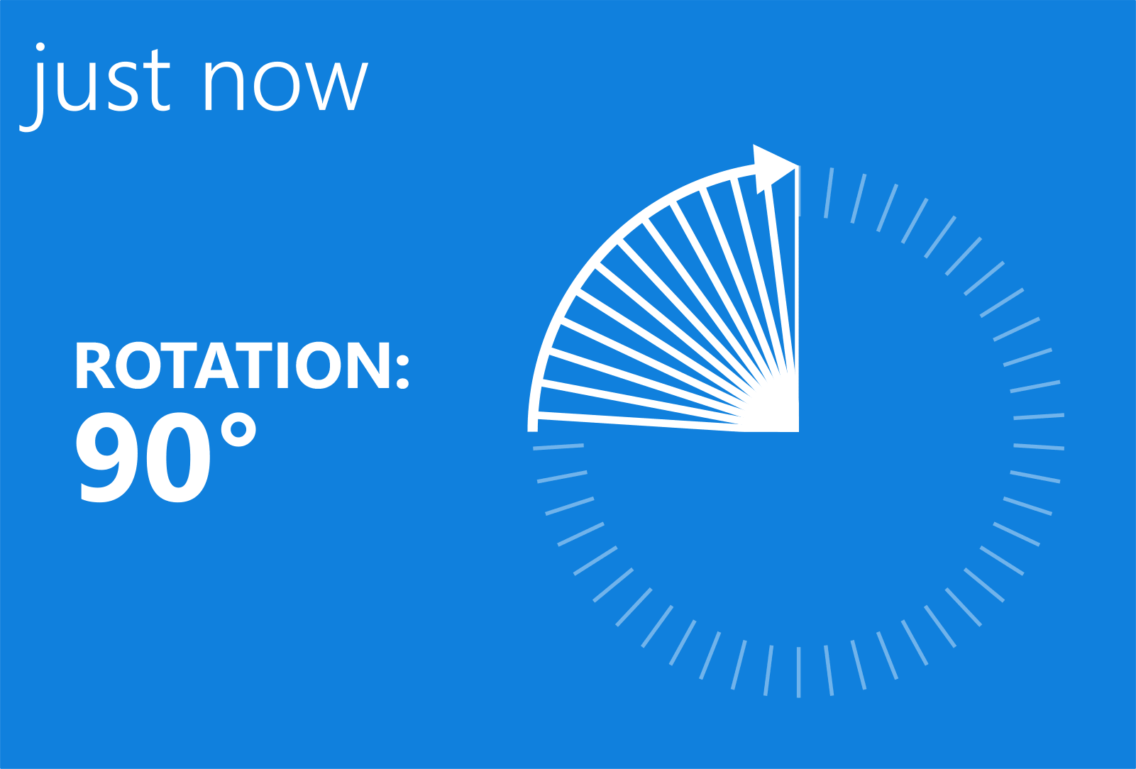


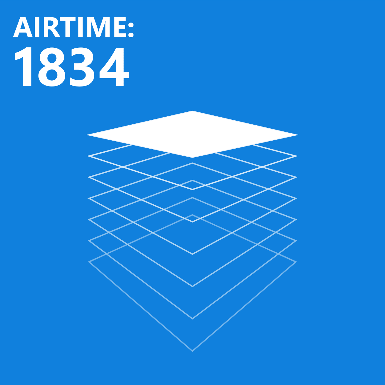


Visual explorations for different types of motion data.
Making Motion Data Meaningful
What does 1.263 seconds of airtime feel like? Raw numbers alone could not convey the experience. I explored motion graphics that could replay a moment rather than simply report a measurement. The team also investigated recognizing snowboarding tricks, such as a switch backside 540, by comparing footage of expert riders with recorded sensor data.
Making Progress Visible
Progress in surfing and snowboarding is often something people feel rather than measure. Tracks explored making that progress visible: how long did a wave ride last, and where was the longest one? The app would let people set personal goals and use their activity data to track improvement or compare results with friends.

Exploring the goal-setting flow.
A More Playful Goal-Setting Experience
I prototyped a goal-setting interaction that combined familiar Windows Phone patterns with a more playful alternative to a standard number picker. The goal list stayed familiar while the interaction brought more of the activity's character into the app.
Mapping the Outdoors
Nokia's maps were primarily designed for driving, leaving gaps in the detail needed for outdoor activities. Tracks explored using anonymized activity traces to improve those maps. The development team built prototypes to detect trails and lift lines, investigating how recorded activities could reveal useful features beyond the road network.

I compared competing outdoor maps to identify gaps in Nokia's base maps.

Styling an outdoor map in Mapbox TileMill to support activity traces and data.
The map needed to provide context without competing with activity traces and data. I experimented with a restrained color palette that retained useful terrain, roads, and elevation detail. Mapbox TileMill let me iterate on the visual hierarchy through CSS-like styling rules.
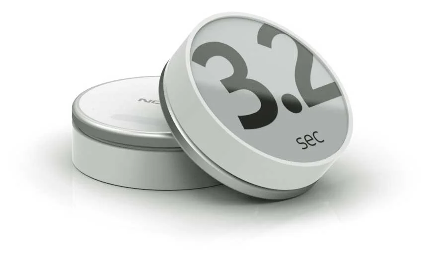
Feedback on the Sensor
The sensor began as a simple puck with a single LED. Adding a low-power, black-and-white display opened up a way to show achievements immediately, without asking people to take out their phones.
Prototyping Within Hardware Constraints
I created motion graphics for the sensor within strict frame-rate and file-size limits. Animations made in After Effects were rendered as image sequences, then converted into binary data for the embedded software. This workflow let me explore expressive feedback within the device's low-power requirements.
Sharing Data Through Video
I explored overlaying activity data on photos and videos so people could share highlights through existing social platforms, rather than a dedicated data-sharing site.
This YouTube mockup shows how that could look. Synchronizing the footage and sensor data would require either a connection between the camera and sensor or post-processing to align the two streams.