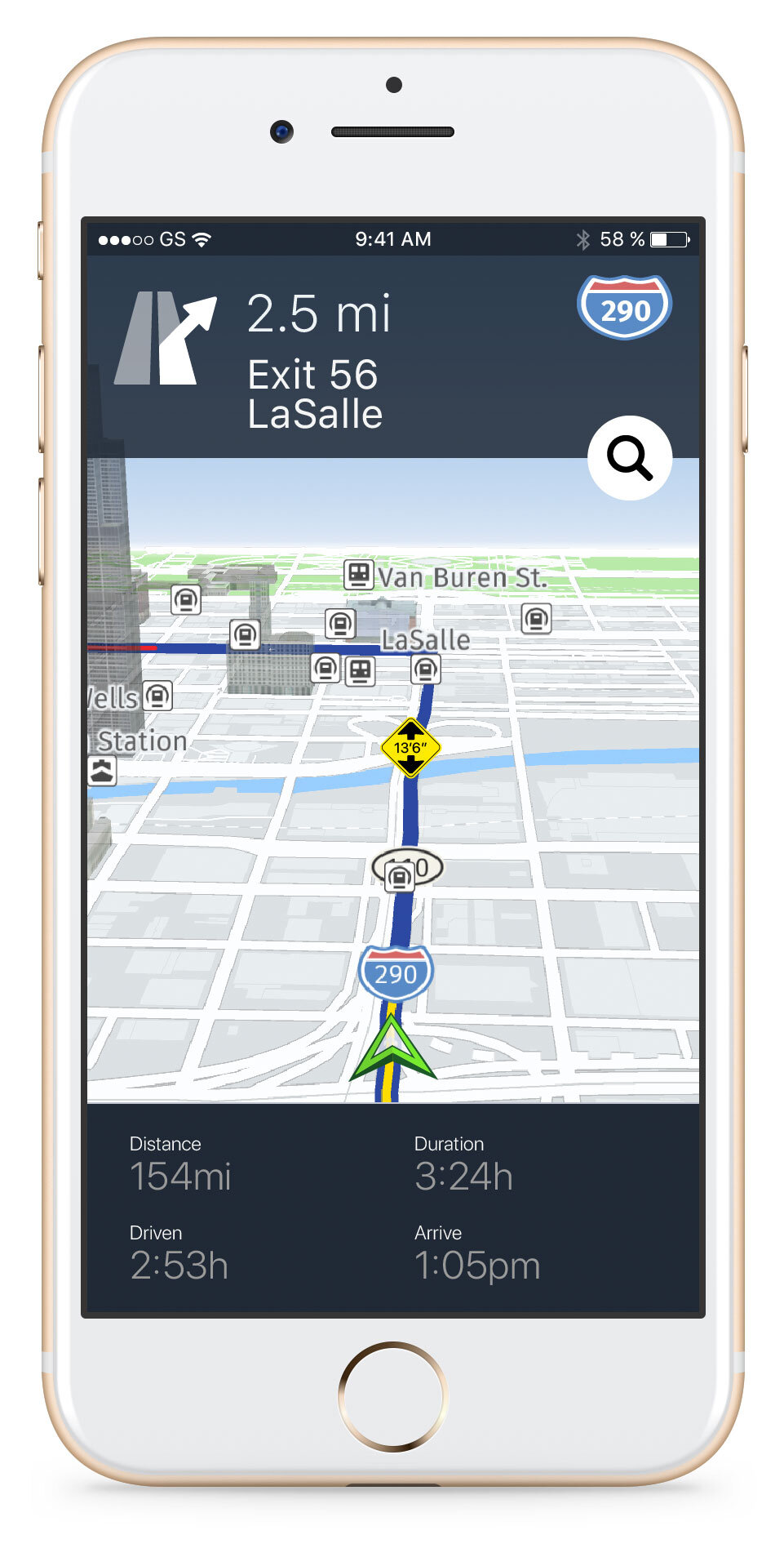
Location Integration
Location data can do more than help people get from one place to another. As part of HERE's design team in Berkeley, I explored how it could enhance everyday products, from photo printing and social planning to truck navigation. Working with existing and prospective customers, I developed concepts, user experiences, and visual designs to make those possibilities tangible.
Role: idea generation, user experience and visual design
2017 - 2020

From whiteboard sketches to high-fidelity mockups: a fast, focused approach to exploring customer concepts.
Adding Place to Photo Memories
Phone photos often contain location metadata, offering a way to connect a memory to the place it happened. I explored how photo printing services such as Shutterfly could use that information: turning coordinates into place names printed on the back of photos, adding maps to photo books, and helping people find photos by location in the app.




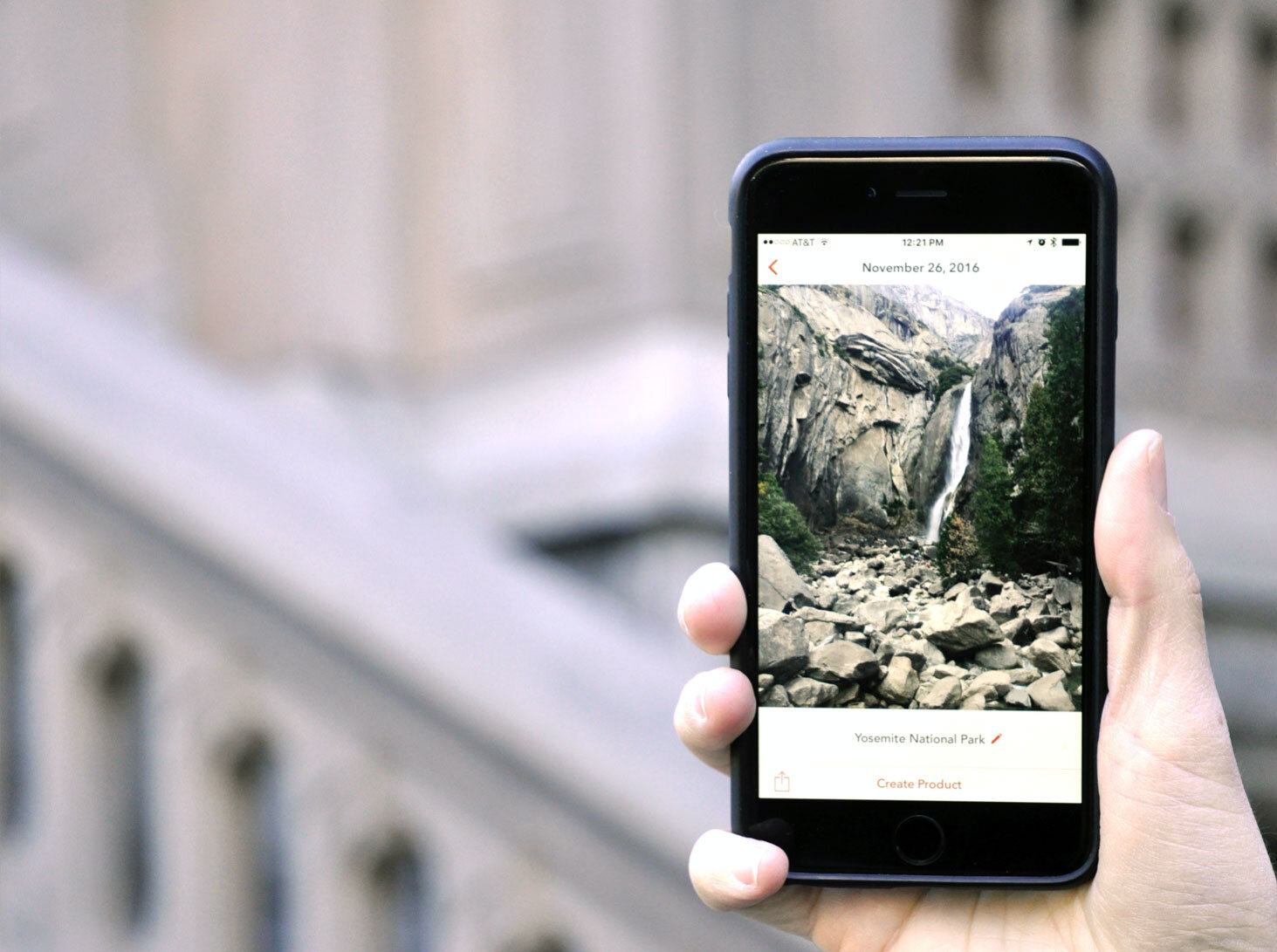

Concept mockups exploring location search, place names, and maps for a photo printing service.
Planning Commutes and Meetups
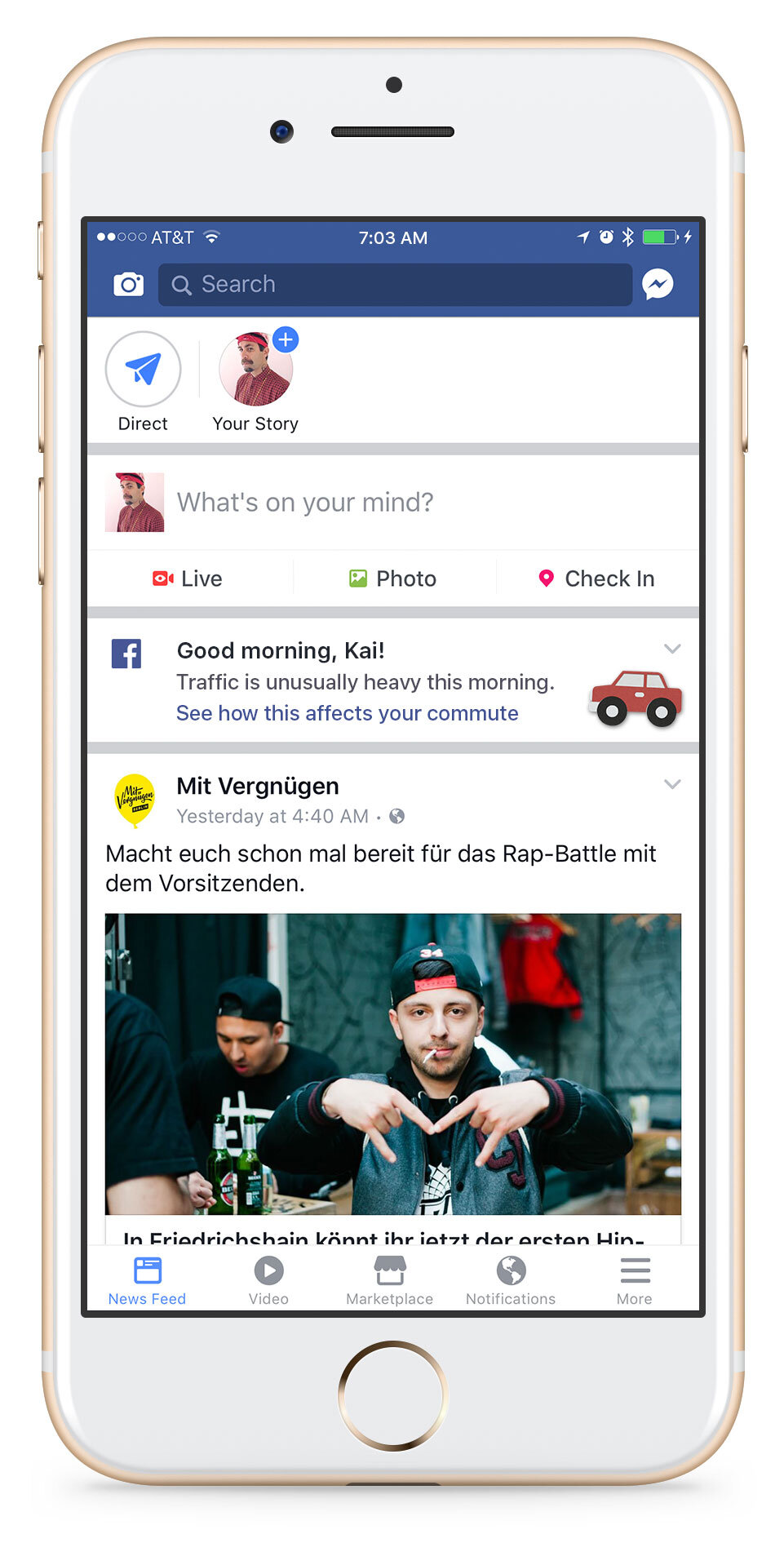
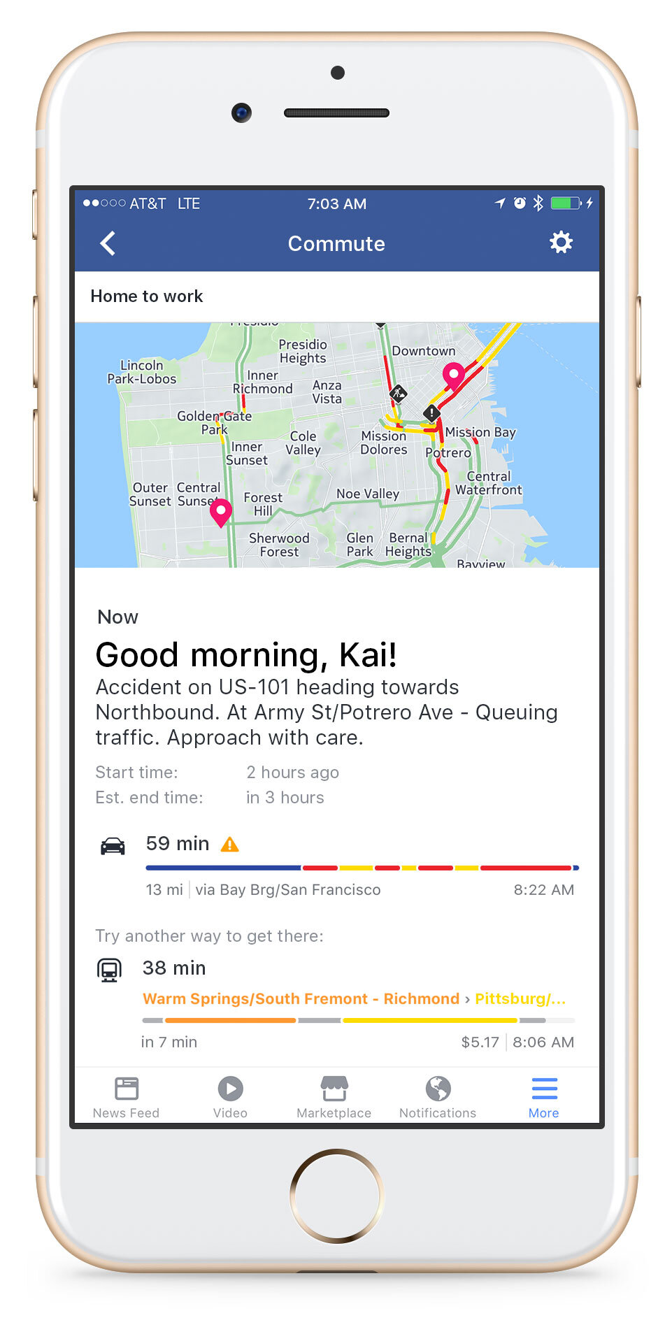
Traffic information is most useful when it reaches people before they leave. I explored a concept for Facebook that would bring traffic alerts into a morning feed, helping people decide when and how to travel to work.
For Messenger, I explored how location data could simplify planning a meetup. The concept let friends find and agree on a place, see an at-a-glance view of travel times, and receive traffic or delay alerts in the group chat.


Truck Navigation for Amazon Relay
Alongside its own delivery network, Amazon works with independent truck drivers. I explored how HERE’s location data and truck-specific APIs could support navigation in Amazon Relay, the app drivers use to manage Amazon deliveries.