Data Collection & Fleet Management
Creating high-definition maps starts with collecting the right road data. For HERE Technologies, I designed a web-based fleet management system and driver-facing apps, supporting everything from coordinating vehicles equipped with GPS, cameras, and LiDAR to collecting data with a phone.
Role: user experience and visual design
2016 - 2020

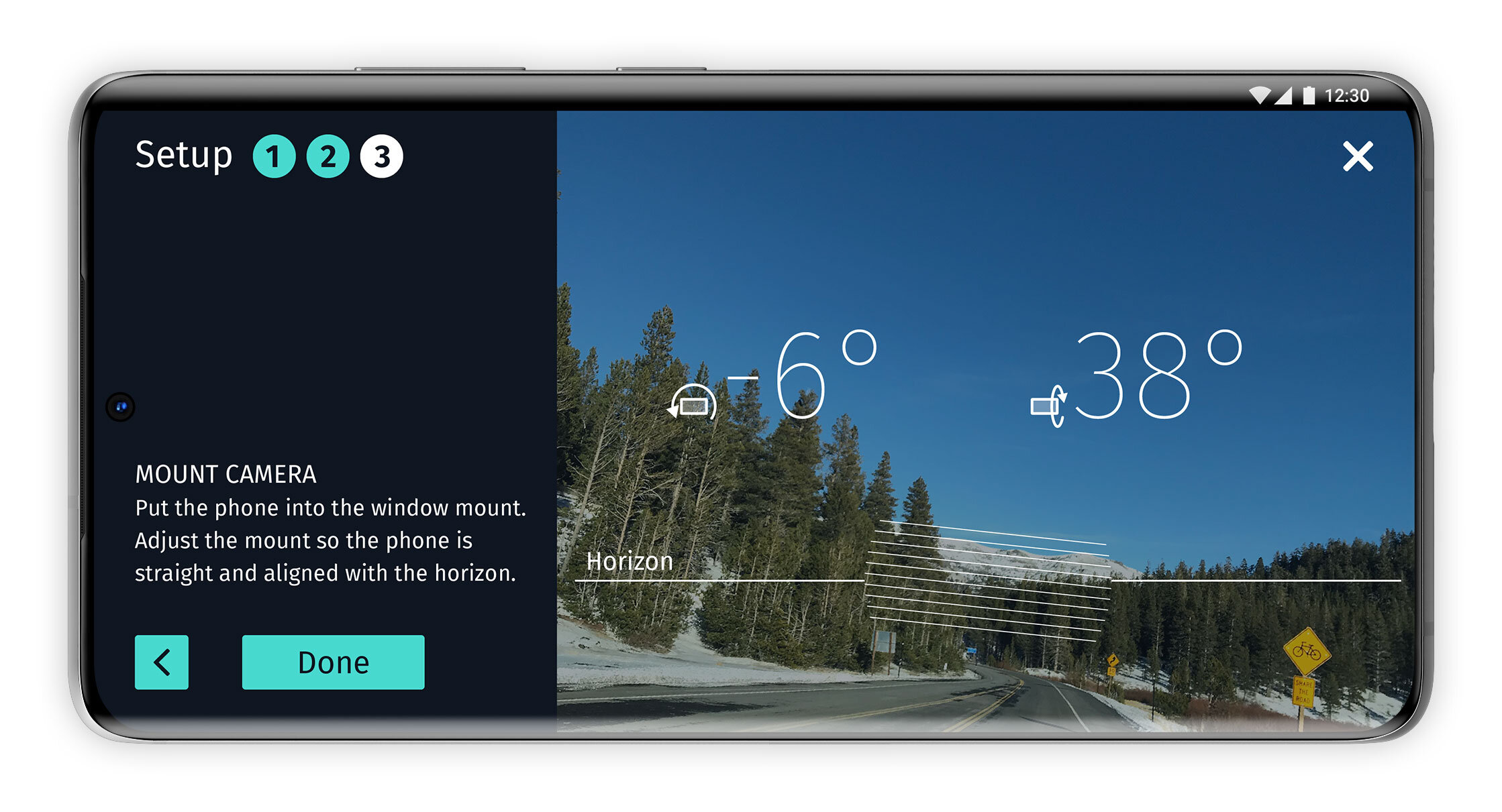
Early designs for Cyclops, a mobile app for collecting map data.
Fleetvision
Fleetvision gives managers and fleet support teams an overview of the data collection process. The web application brings together routes, vehicles, drivers, and collection equipment so teams can monitor progress, check equipment status, and review billing for hourly paid drivers.


Valence
Valence supports drivers operating the data collection vehicles. They need clear guidance, visibility into the collection equipment, and timely warnings when something goes wrong. I focused on making essential information easy to understand while minimizing distraction behind the wheel.


Cyclops
Cyclops collects map data using a phone's camera and sensors rather than a full vehicle-mounted rig. An external GPS antenna provides greater positioning accuracy, but adds complexity to the setup. I focused on guiding users through connecting the antenna and calibrating the phone so they could prepare for data collection with confidence.