Frequently the HERE design team in Berkeley was asked to help to engage and collaborate with current or potential customers. The goal was always to come up with ideas and designs to enhance customer products by integrating location data.
Role: idea generation, user experience and visual design
2017 - 2020
To be fast in execution most of these rather quick projects were sketched out on the whiteboard and then delivered as high fidelity mockups.
Location for Photo Prints
Today more people use their phone's camera to take pictures than a regular point & shoot. For those photos, the location is usually embedded in the photo and can be used to improve the experience of using a photo printing service like Shutterfly. The reverse geocoded place or point of interest can be simply printed on the back, it can be used to show maps in photo books or other products and help with finding photos by location in the app.




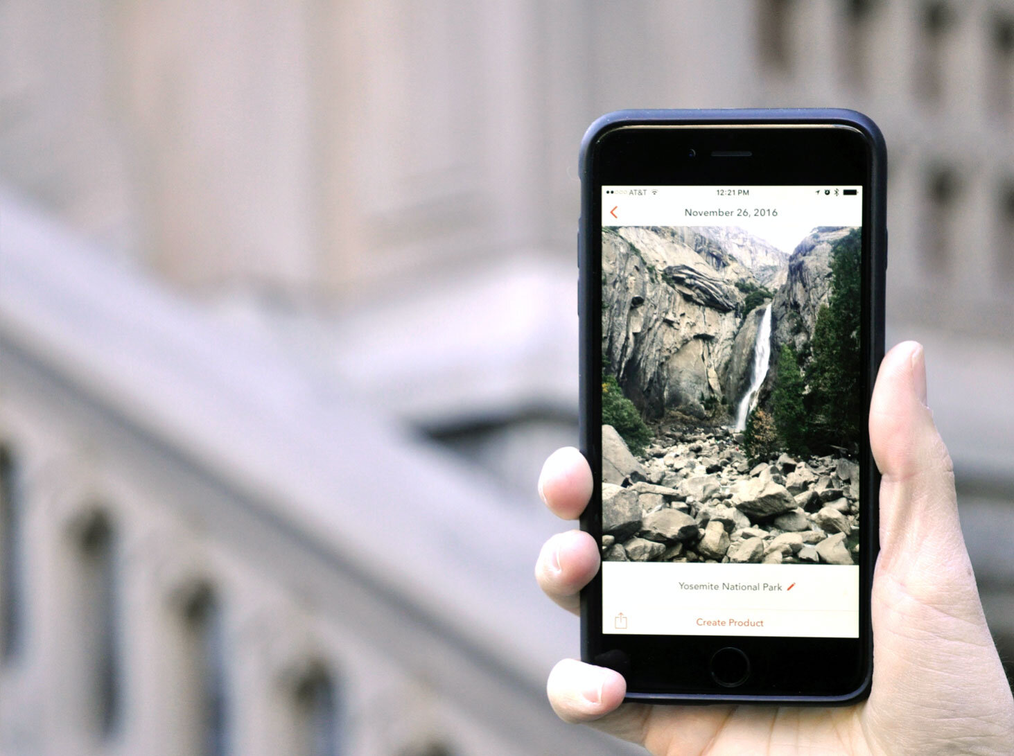

Mockups of location integration for a photo printing service
Facebook and Location Data
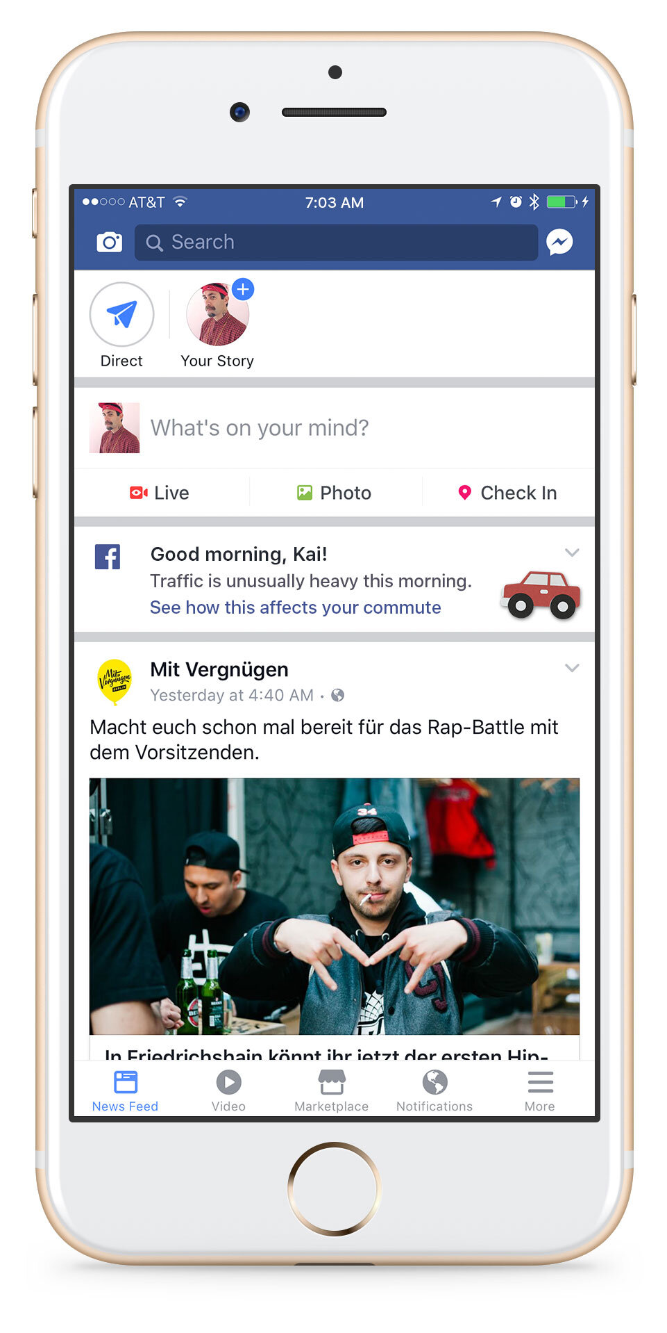
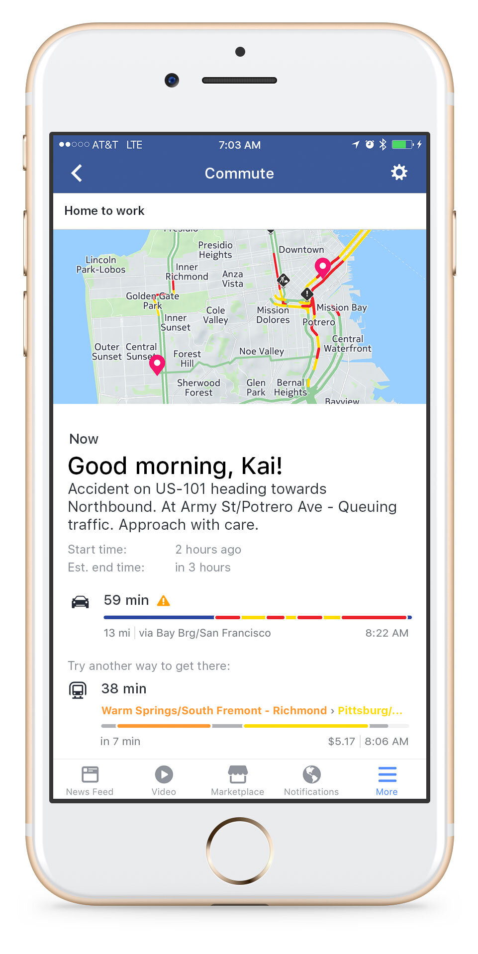
Just like the weather, traffic often can't be avoided, but predictions can help to plan the day. So see traffic alerts when checking Facebook in the morning can help to make an informed decision on how to get to work.
When chatting with friends to meet up, there is often a lot of back and forth to decide on a place and time. Messenger can be enhanced with location data to cater to those meetup situations. Not only to find a place and agree on it but it also can show an abstract view of how long it takes people to get there. If there are any delays and traffic warnings will be sent to the group chat.
Amazon Trucking
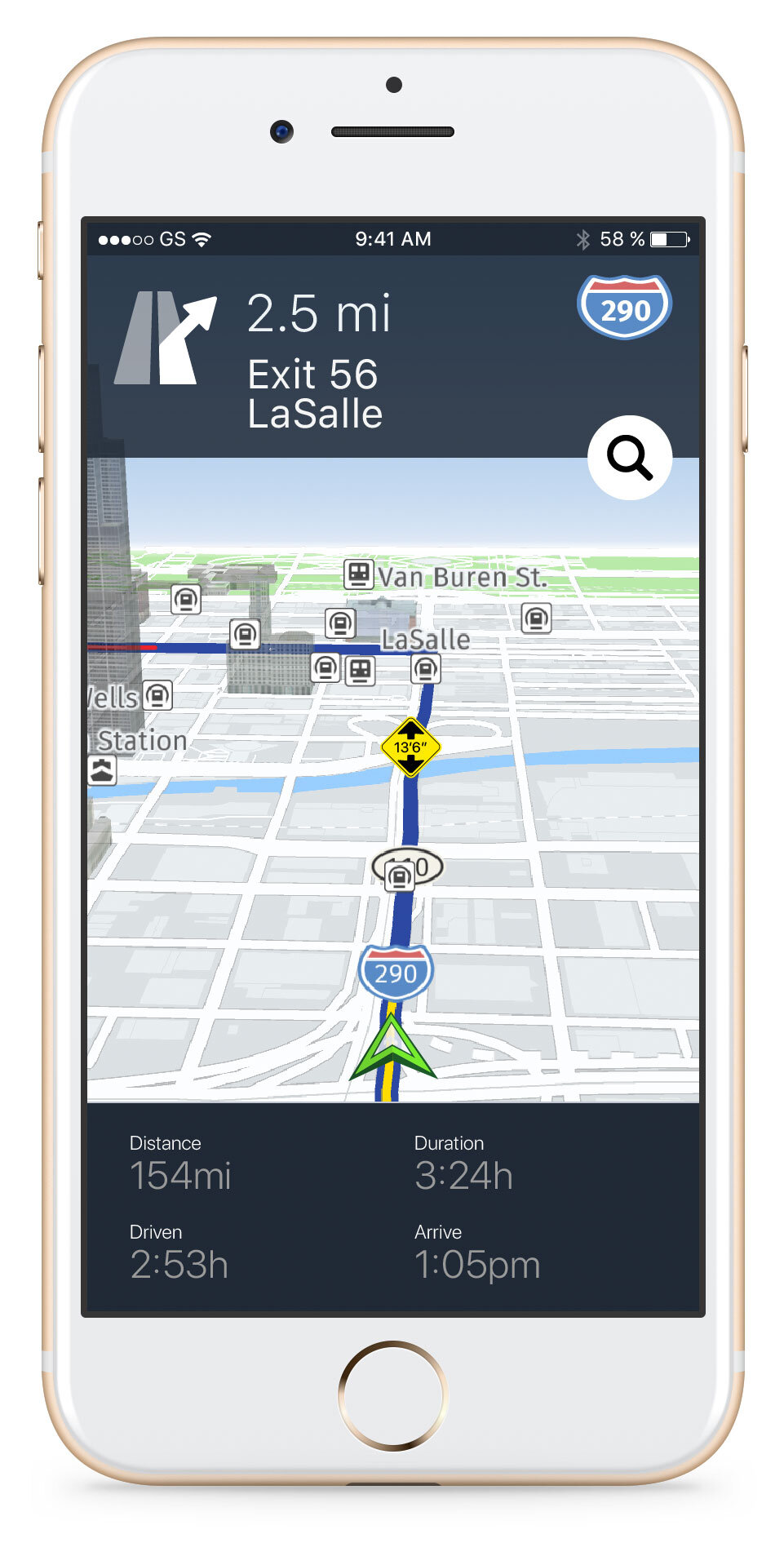
Amazon has many drivers and trucks, but they rely also on independent truckers to deliver the goods. Locations data and specific trucking APIs can be used to add truck navigation to Amazon's Relay app - an app made for those independent truckers.

